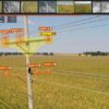
Satellites offer the utility industry enormous opportunities in the area of vegetation management.
Students graduating from universities today most likely have never used a paper map to find their destination. The advent of GPS navigation, in combination with powerful computers in the pockets of virtually every one of us, has made paper maps obsolete.
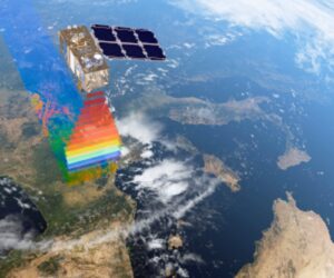
Right now, the next outer space revolution is taking place. Due to a rising number of satellites in orbit, the frequency in which satellite images are recorded, as well as their quality, increases dramatically. Thanks to artificial intelligence and machine learning algorithms, combined with end-user-friendly software, enterprises are able to gain valuable insights from that data.
The utility industry is an early beneficiary of advances in Earth observation, which offers enormous opportunities in the area of vegetation management.
Utilities vegetation managers need to know where vegetation poses a risk to their assets – does it grow in from the sides or below or, for example, from trees that are outside the right of way but may fall in (at some point) due to a storm or low tree health. They need to efficiently allocate their resources and schedule cutbacks where needed in order to mitigate risk of outages or wildfires; decisions at times need to be made at a single tree level. These managers are confronted with the challenge of monitoring and managing vegetation along enormous networks in an extremely granular way with potentially severe consequences if requirements are not met.
An ideal solution catering to the needs of vegetation managers must therefore be usable at large scale, provide accurate and reliable insights about the vegetation along the network, and — as is often overlooked — make these insights actionable in the field.
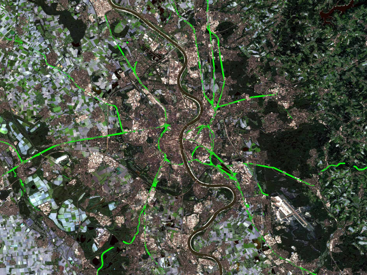
Monitoring very large assets from outer space has obvious advantages. While it takes weeks for drones or helicopters to fly along a network, a satellite can capture imagery of the same area within hours. With data describing the entire grid coming from a single source, decision-makers acquire a complete overview of the entire asset just days after the data has been recorded. Once set up, this process can be repeated virtually at the push of a button, making near real-time monitoring a reality.
LiveEO has proven its massive scalability by analyzing the entire U.S. transmission grid from outer space, using publicly available grid-data and satellite imagery to identify vegetation encroachment along electricity lines. For several years now, LiveEO has been successfully monitoring the network of Europe’s largest railway operator, Deutsche Bahn. In fact, customers in the electricity sector in Europe, North America and Australia are using LiveEO’s vegetation management solution to monitor tens of thousands of miles of transmission and distribution grids from outer space.
While scalability is certainly important, it is not everything. For vegetation managers to successfully mitigate risk, they need access to accurate and reliable information.
Machine learning algorithms can accurately distinguish between grassland, agricultural or urban areas on the one hand and vegetation that poses a risk on the other. These algorithms can detect the species and health of vegetation, providing valuable information for cutback teams on the ground.
The spatial resolution of satellite imagery today can be as low as 1.6 ft, meaning that vegetation encroachment into the right of way can be reliably detected. Using stereoscopic satellite images, LiveEO is able to compute the height of vegetation along the network with an accuracy of 5ft. This detects vegetation growing in from below as well as potential fall-in risk from trees outside the right of way, and takes into account the catenary curves of the powerlines.
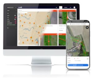
With all the information in one place, making it actionable to both managers and ground workers is the only missing piece of the puzzle. LiveEO’s vegetation management automatically derives tasks based on the risk associated with the vegetation condition along the grid and prioritizes these tasks based on urgency. Managers can then assign these tasks to ground workers or subcontractors who can access them on LiveEO’s mobile app. Workers can document their progress and the condition of vegetation after a cutback or inspection has been completed. Native integrations into asset management solutions by SAP, Infor and others are then in place, too.
Satellite-informed vegetation management has many advantages over traditional approaches such as LiDAR scans with drones or helicopters — at a fraction of the cost. In many cases, especially on the distribution level, satellite data can substitute other monitoring solutions entirely. In almost all cases, it can help to streamline the inspection process along the network by providing vegetation managers with a solid foundation for data-driven decision-making.